Monday, June 26, 2017

Maroon Bells

Ever since we came to Colorado we've always heard people talk about how pretty Maroon Bells is and that we should go there. After looking into the camp sites and having to book 6 months in advance, I can now confirm that they are definitely correct.

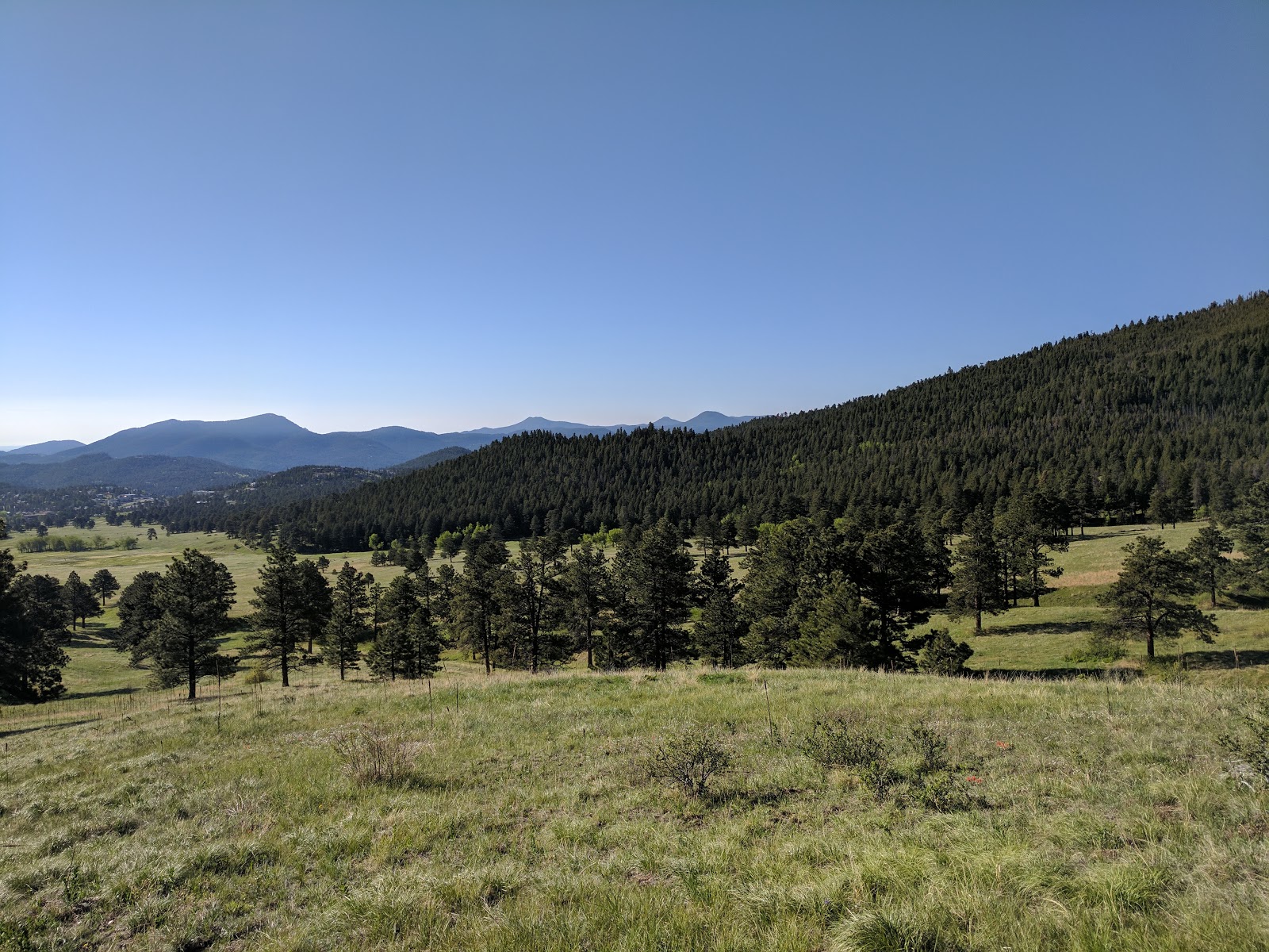
Ali and I booked a campsite at Silver Bells, which is the first campsite past the ranger station. It's a pretty nice location with the river right beside you and allows easy access both to hiking and to Aspen if you need any supplies (beer). The sites were kinda close to one another so you don't get as much privacy as you would at other locations but it was also nice you could back your car up to the site so you didn't have to haul supplies in. Another quick note is I hope you enjoy cold river water because that is the only running water on the campgrounds. Now that the campsite is out of the way, it's time to talk about the hikes.

West Maroon Trail

We got up early Friday morning and drove in so we started our first hike, West Maroon Trail, around 9:30 am. The first part of the hike is very flat and is the super touristy section that everyone goes to. The picture below is the one everyone is used to seeing. It's crazy how perfect the reflection is in the water.


After you pass Maroon Lake, which is around 9,580, you head up to Crater Lake. This trail is fairly strenuous as it goes over some rocky terrain and climbs to an elevation of 10,076. The views the entire way are very pretty and this is the last stop where you see quite a few people.


Once you get past that, you continue to climb uphill over similar terrain. When we went, there were still quite a few snowy sections so we weren't able to make it to the top. The first picture below is a view above Crater Lake with my carry on dog with me. He's got a bad back so he hikes for about 20 min and then gets carried for about 3 hours so he has a pretty solid deal. The next picture was around 11,400 and is where we started to get snowed out. We hiked along the side for a while but decided it wasn't worth it.


All in all this trail was a little over 9.5 miles round trip with around 1,400 elevation gain. It was a beautiful hike and I highly recommend it to anyone.

Maroon-Snowmass Trail to Willow Lake

The next day we started out doing the scenic loop trail. This is a very low key 1.5 mile loop that gives you a good view of the lake and also has a very good chance of seeing a moose or two, which is the only reason we did it. I recommend doing it just to say you did but it's pretty busy if you don't get there very early.

Now let's talk about the real hike. This hike starts in the same spot and goes all the way to Crater Lake so you get about 1.8 miles of the same terrain but it's still very pretty. Once you hit Carter lake you make a right and start a very long and tiring uphill climb. Since this is a hard hike, you instantly lose 99% of the people there which makes it well worth the isolation. 

After you finish the initial climb, you are on the Minnehaha Gulch portion of the trail. This part is very pretty as you are walking in the woods above the creek. The creek was running pretty hard while we were there since the snow was melting. The picture below shows part of the creek where we had to take off our shoes and walk across since the snow bridge was very very sketchy.


Once you cross the creek, you start another uphill stretch but the views are well worth it. We didn't see any moose while we were on this trail but a lot of people do. This portion of the trail follows another smaller creek and is a mixture of rocky and wooded terrain. After a mile or two, we branched off from the creek and started to lose the trail in the snow. It was about 50/50 snow and normal trail until we got to the split to either do Buckskin Pass or Willow Pass. Both were pretty snowed out but we decided to do Willow Pass. I'd say about 30% of the trail didn't have snow on it and the rest was more of a trudge through hoping we were going the right direction. In the first picture below, you can see a red arrow on where the top of the pass was. The next picture shows part of the snowed out area that we had to walk through.


While that portion of the trail wasn't much fun, it was worth it at the top of the pass. The first picture is the other side of the pass with a frozen Willow Lake to the far right. Then the other picture is where we came from. If you look at the very bottom of the valley, that is Minnehaha Gulch.


So this is probably one of my top 2 hikes ever. It may have not been as much fun, but definitely easier, without the snow and river crossing but that made it worth it. The views are amazing the entire time so I highly recommend doing it but you will need to be in shape. Without going all the way to the lake, we still did around 11 miles with over 2,920 vertical gain. It even exhausted Deuce who didn't hardly hike at all.


Maroon Creek

The last day we wanted to keep it a little more low key so we decided to do the Maroon Creek Trail. This is a 6.4 mile round trip trail that follows the creek from Maroon Lake back towards the campsite. It was more of a wooded hike and then sections of meadows. We saw a few deer and moose have been known to be around the trail. While I'm glad we did it as I love hiking next to water, it was hard to compare it to the previous hikes since you don't get the expansive mountain views on this one. However it was a nice change of pace and I'm not sure if I could do another 2,000+ hike.


So in closing, I highly recommend going here. Even with us at the campsite only 2 miles away we had to get up pretty early to get a parking spot since it's so popular. On the bright side though, a lot of people go there for the very short hike and then leave by 10ish so if you don't care about seeing wildlife earlier in the morning, I'd recommend just waiting a little while to get a parking spot, if you are camping onsite that is since they only allow buses in and out after 8:00 am.

We took a ton of pictures so if you are interested in seeing anymore, you can find them here.


Tuesday, June 20, 2017

Catamount Falls Trail


This weekend we decided to head to Green Mountain Falls, which is about 30ish minutes west of Colorado Springs. I'm a sucker for waterfalls and water overall so I was excited to see what this hike had to offer. 

The drive to Green Mountain Falls is pretty easy with good roads the entire time, however once you get to Green Mountain Falls, it gets a tad confusing. You actually park in the city by a little pond with an island in the middle of it with no sign of a trail around. You have to hike through a few local streets to get to the actual start of the trail and Verizon had 0 service there, so we did a lot of wandering around. I would highly recommend downloading a map before going there so you don't waste 15 minutes like we did.

Once we got our bearings, or so we thought, we were off. We were originally going to do the Crystal Falls hike but ended up starting out on the Dewey Mountain hike. It's a fairly steep climb to a little mountain overlooking Green Mountain Falls. The views weren't bad but overall I wouldn't waste your time on this one. Below is a quick picture from the top. From there, you could continue to Horseshoe Mountain and link up with the Catamount trail but we decided to backtrack and go down Hondo Ave to the start of Catamount.


Once we finally got on the correct trail, we started our upward climb again. At this point in time we were already 3 miles in from randomly roaming around other trails so it was a little tiring with all of the switchbacks. However the first mile or so of this trail was very pretty with a lot of smaller waterfalls


 After you make it to the top of the mountain, you then go on the backside of it to the "Garden of Eden". This was a pretty meadow area with a few more creeks and a path winding through pretty thick bushes. Overall I really enjoyed this area as it was completely different from the first part of the hike.


Once you get to the end of this trail, it then goes onto a gravel road where you can go right to the reservoir or left to the Ring the Peak trail and end up back at Crystal Falls. We're not big fans of hiking on a road so we backtracked down Catamount and then took Thomas Trail to Crystal Falls. Thomas Trail goes along the side of the mountain with sporadic views of the town. You then get to Crystal Falls right before you start heading back down the mountain into the town. The falls were very pretty and the short hike down followed the stream the entire time.


Minus the getting lost and roaming around a trail we weren't supposed to, I enjoyed this hike. I would say it's on the moderate side as there is a decent amount of elevation gain as soon as you get on the Catamount Trail and you have to cross at least 1 creek when you link up to the Thomas Trail.  As you can see from my GPS below, we were all over the place.


Friday, June 9, 2017

Elk Meadow Park

Since I've fallen behind on posts, it's time to double up. The next hike of the year was at Elk Meadow Park, right outside of Evergreen. The specific trails that we took were Sleepy Trail --> Elk Ridge --> Meadow View --> Too Long Trail --> Bergen Peak Trail --> Elk Ridge --> Sleepy Trail.

To start out it's a fairly easy stroll through some meadows with more "rolling mountains" in the background. If you go early enough and beat all of the mountain bikers, you can normally spot some deer roaming around. While I normally like the steeper mountains, it was a nice change of pace to get these views as well.


After you get through the meadows portion, you start getting into a slightly wooded area that starts switch-backing up the mountain. It was a little warm when we went so the shade was greatly appreciated. As you work your way up, the views continue to get better and better. The picture below is a view from the very top looking back down into the meadows and Evergreen to your left. As you can see, it's a decent trek up even though it's not too steep at any given point in time.


Here is another view from the top that looks off into some snow-capped peaks in the distance.


Overall I would say this hike was slightly better than Mount Falcon due to the views being a little better and it was less crowded overall. If you do the full loop, you end up going a little over 10 miles with ~2,000 elevation gain.


Mount Falcon

It's finally getting that time of year again when we can start hiking and not freeze our butts off. To start out the season Ali and I normally like to start out on the front range where there isn't much snow and try to get back into hiking shape. This year we decided to start out with Mount Falcon Castle Trail. According to AllTrails, it's about 7.9 miles with an 1,827 foot elevation gain however we did a slight variation, Castle Trail --> Meadow Trail --> Tower Trail --> Meadow Trail --> Castle Trail --> Turkey Trot Trail. This prevented us from doing the typical down and back and gave us a different view of Red Rocks in the distance.

Overall I'd say the hike is fairly moderate and provides some good views of the front range. It starts out gradually sloping up some switchbacks that provides you a good view of Red Rocks as seen below.

Once you get off the front of the mountain, it levels out a little until you get to the "castle" portion of the hike. This mansion was owned by John Brisben Walker and dates back to around 1909. Most families seemed to stop here and head back down but if you continue up, that is where the best views are.


The picture below is from the Eagle Eye Shelton. It was very well made and a great place to bring lunch or take a break. If you continue up to the Tower Trail, you then reach the Fire Tower which has a good view of Denver and Red Rocks.


All in all it was a pretty good trail to start the year out on. My only complaint is that there were a lot of bikers on the trail so we continually had to get out of the way for them.


Splunk's Adaptive Response Framework

Before I start this post, I want to give a quick shout out to Splunk. I recently just got back from my first .conf and I have to say, overal...